

Article details
1. Introduction & The Challenge of Imperceptible Movement
Civil infrastructure is engineered to stand the test of time, yet the ground beneath it is rarely static. Across the globe, heavy structures such as embankment dams, long-span bridges, regional transit tunnels, and urban high-rises are subjected to continuous environmental and geological stresses. Phenomena like regional groundwater over-extraction, tectonic shifts, soil consolidation, and structural loading can trigger slow, creeping ground deformation.
Historically, monitoring these movements relied on ground-based surveying techniques—such as optical leveling, total stations, and physical extensometers. While precise, these methods are labor-intensive, expensive, require direct line-of-sight, and can only cover discrete points rather than an entire structural footprint or regional basin.
Enter Interferometric Synthetic Aperture Radar (InSAR): a cutting-edge remote sensing technology that allows civil and geotechnical engineers to monitor millimeter-level land subsidence and structural deformation from hundreds of kilometers up in space.
2. The Technical Mechanism: How InSAR Works
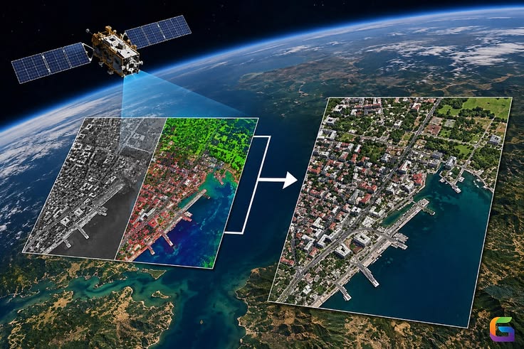
InSAR is an advanced radar remote sensing technique that processes multiple satellite images captured over the same geographic area at different times.
A. Synthetic Aperture Radar (SAR) Basics
Unlike optical satellites that rely on sunlight and can be blocked by clouds or darkness, SAR satellites (such as Sentinel-1 or commercial constellations like COSMO-SkyMed and TerraSAR-X) actively transmit microwave pulses toward the Earth's surface and record the returned signal (backscatter). Because microwaves can penetrate clouds, haze, and darkness, InSAR provides all-weather, day-and-night observation capabilities.
B. The Interference Principle (Interferometry)
When two SAR images of the same location are acquired at different times ($T_1$ and $T_2$), the phase difference between the returned radar waves is calculated. This creates an interference pattern called an interferogram.
Each fringe (color cycle) in an interferogram represents a specific fraction of the radar wavelength of movement. Advanced processing techniques—specifically Persistent Scatterer Interferometry (PSI) and Small Baseline Subset (SBAS) algorithms—filter out atmospheric noise, topographic effects, and orbital errors, isolating pure surface displacement down to a fraction of a centimeter.
3. Applications in Dam Safety and Geotechnical Engineering
Dams and water retention structures represent some of the most critical high-consequence infrastructure on earth. Ensuring their long-term structural integrity requires monitoring subtle movements that precede failure.
A. Monitoring Embankment Dams and Reservoirs
Embankments naturally experience settlement over time, but abnormal localized settlement or horizontal shifting can indicate internal piping, foundation weakening, or slope instability.
Historical Baselines: InSAR allows engineers to look backward in time, utilizing archival satellite data spanning years to reconstruct the historical deformation history of a dam before a new project phase begins.
Reservoir-Induced Seismicity & Deformation: InSAR tracks how dam bodies and surrounding abutments respond to seasonal water level fluctuations (reservoir filling and drawdown), detecting elastic deformation vs. permanent plastic settlement.
B. Regional Land Subsidence and Infrastructure Corridors
Beyond individual structures, InSAR maps wide-area land subsidence caused by aquifer depletion or mining activities. Differential subsidence—where one part of a highway corridor or railway line sinks faster than an adjacent section—creates severe structural stress, leading to cracking in rigid pavements, bridge approach settlement, and pipeline ruptures. InSAR pinpoints these differential movement gradients early, enabling targeted geotechnical remediation.
Conclusion
Satellite-Based InSAR has transformed civil engineering and infrastructure risk management. By shifting from sparse, ground-based point measurements to continuous, wide-area spatial monitoring, engineers can track millimeter-level surface deformations across dams, slopes, and regional transportation networks from space. Integrating InSAR data into asset management workflows ensures that potential structural vulnerabilities are identified long before they manifest as critical failures, safeguarding both communities and investments.