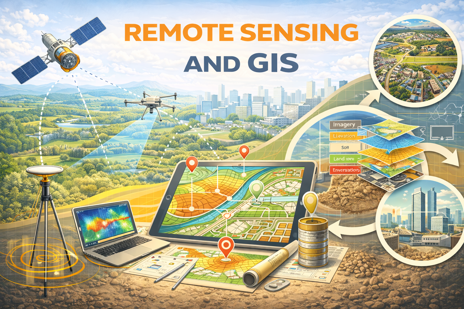
Remote Sensing and GIS

Engineering Academy
Learn Without Limits: Free Engineering Courses
FREE
1 already enrolled!
Advanced course for professionals

Anytime Learning

Learn from Industry Expert

Career Option Guideline
Remote Sensing and GIS
Why enroll

Course content
The course is readily available, allowing learners to start and complete it at their own pace.
Remote Sensing and GIS
24 Lectures
1345 min
Lec 01: Overview and Introduction

Preview
60 min
Lec 02: Basics of Remote Sensing
50 min
Lec 03: Error corrections in satellite image
64 min
Lec 04: Error Identification and Correction - I
61 min
Lec 05: Error Identification and Correction - II
51 min
Lec 06: Error Identification and Correction - III
60 min
Lec 7: DIP-I
54 min
Lec 8: DIP-II
65 min
Lec 9: DIP-III
54 min
Lec 10: DIP-IV
53 min
Lec 11: Image Classification-I
77 min
Lec 12: Image Classification-II
53 min
Lec 13: Photogrammetry
60 min
Lec 14: Thermal Remote Sensing
67 min
Lec 15: Microwave Remote Sensing
62 min
Lec 16: HRS-I
72 min
Lec 17: HRS-II
55 min
Lec 18: HRS-III
49 min
Lec 19: HRS-IV
54 min
Lec 20: HRS-V
33 min
Lec 21: GIS-I
55 min
Lec 22: GIS-II
58 min
Lec 23: Applications of Remote Sensing & GIS-I
35 min
Lec 24: Applications of Remote Sensing & GIS-II
43 min